Founded to bridge empirical field geology with heavy geotechnical site engineering, RomaF GeoServices And Engineering Ltd. provides subsurface verification and structural exploration for mining operators.
2012
Year Established
Delivering empirical ground truth for natural resource developers across complex terrains.
Field Capabilities
Subsurface Rigor and Mineral Site Engineering
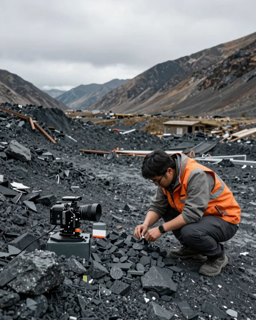
RomaF GeoServices And Engineering Ltd. conducts high-precision core sampling, structural mapping, and geotechnical site assessments in remote terrains to de-risk resource extraction and optimize asset viability.
Our geological teams adhere strictly to international reporting and verification standards, converting complex structural subsurface data into actionable strategy for mining leadership.